Guide · Azores
Hiking in the AzoresSão Miguel and Terceira trails, fees, closures and safety (2026)
São Miguel and Terceira hiking in 2026: the official PR/PRC network, closed trails, the Pico da Vara permit, what costs money, easy trails for families and the official rules for fog, rain and emergencies. From the trail register, not first-hand.
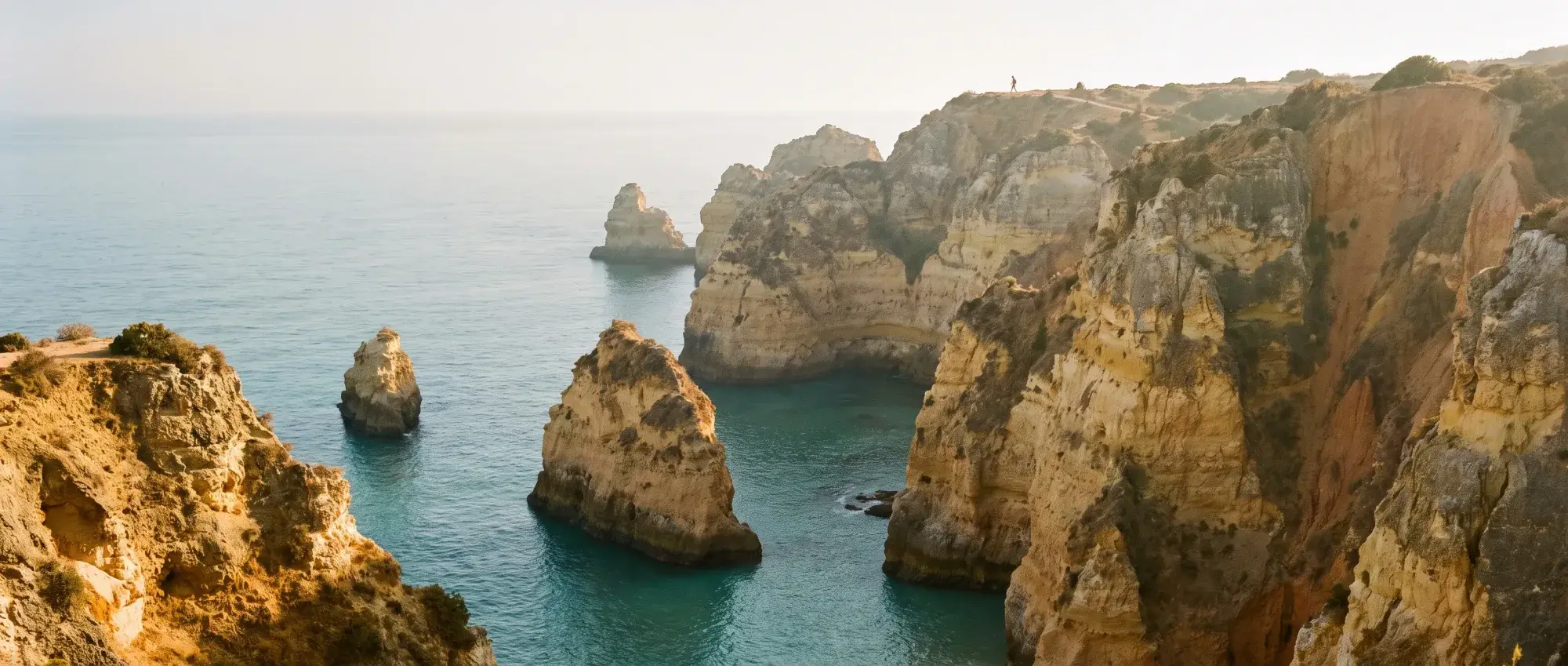
Trail status read on 14 October 2026. Closures change without notice: check trail status before you go on the Azores Trails alerts page [1].
The short answer: hike the official network, check the alerts page the morning you go, and swap days around the fog. São Miguel and Terceira have dozens of signed trails, coded PR or PRC (for example PR03SMI, PRC04TER), listed with distance, time, difficulty and a GPS track on Azores Trails, the regional tourism office’s site [2][4]. We found no general trail fee or booking on the official pages we read; paid sites along some routes (such as the Furnas caldeiras) charge their own entry. The exceptions are Pico da Vara, São Miguel’s highest point, which needs a permit [5], and paid sites near trails, such as the Mount Pico climb on Pico island [7].
Fees and permits in 2026
| What | Fee or permit | Source |
|---|---|---|
| Regular PR/PRC trails on São Miguel and Terceira | No fee or booking shown on the trail pages we read; sites along a route may charge (the Lagoa das Furnas loop passes the caldeiras ticket booth, €3 for non-residents) [28] | [4][11]–[24] |
| PRC07SMI Pico da Vara (São Miguel) | Permit: “Access to this trail is conditioned. Please complete the following form to get your permission.” No fee stated | [5][6] |
| Lagoa do Fogo | No trail fee. The published 2026 road restriction and shuttle ran 1 August–30 September; walkers can use the PR02SMI trail from the south. Check Lagoa do Fogo for future road and fare updates | [9][13] |
| Caldeira Velha | Paid site (hot stream and pools), not a trail | [8] |
| Algar do Carvão (Terceira) | Cave ticket, run by Os Montanheiros; visits suspended from late October or November 2026 | [10] |
| Mount Pico (Pico island) | €5 to Furna Abrigo, €15 to the crater, €25 to Piquinho, €10 overnight; Azores residents free | [7] |
Closed trails (14 October 2026)
The official alerts page listed these as temporarily closed [1]:
- São Miguel: Atalho dos Vermelhos (PRC33SMI), Nascentes de Santo António (PR17SMI), Pedra Queimada – Degredo (PRC36SMI), Pico da Praia (PRC44SMI), Quatro Fábricas de Luz (PR39SMI), Ribeira do Faial da Terra (PR11SMI), Rota da Água – Entre Túneis e Condutas (PR42SMI), Rota da Água – Pedras Brancas (PR41SMI).
- Terceira: Serreta (PRC03TER). Check any Grande Rota stage separately before setting off.
Two things blogs often get wrong:
- Salto do Prego (the Faial da Terra waterfall) is on the closed PR11SMI, but also on PRC09SMI Sanguinho, a 4.6 km circular route from the Faial da Terra bus stop, which was not on the list [20][21].
- Algar do Carvão: the operator expects the cave to close for works from late October or November 2026 until about the middle or end of the first quarter of 2027 [10]. The PRC10TER trail from its car park (6.2 km, medium, with an optional 600 m detour to the Furnas do Enxofre fumaroles) was not on the closed list on 14 October [23].
A closed trail is closed: the portal says promoters close trails for safety or maintenance and mark it at both ends [2].
São Miguel trails by difficulty
All figures from the trail register [4]. Linear trails end somewhere else, so plan a lift, a taxi or a bus back.
| Trail | Code | Km | Time | Difficulty |
|---|---|---|---|---|
| Pico das Camarinhas – Ponta da Ferraria | PRC43SMI | 3.6 | 2 h 30 | Easy |
| Praia da Viola | PR27SMI | 4.9 | 2 h | Easy |
| Vigia de São Pedro | PR01SMI | 6 | 2 h | Easy |
| Vista do Rei – Sete Cidades | PR03SMI | 7.5 | 2 h | Easy |
| Rota da Água – Janela do Inferno | PRC37SMI | 7.6 | 2 h 30 | Easy |
| Lagoa das Furnas | PRC06SMI | 9.4 | 3 h | Easy |
| Sanguinho (Salto do Prego) | PRC09SMI | 4.6 | 2 h | Medium |
| Serra Devassa | PRC05SMI | 9.1 | 3 h 30 | Medium |
| Lagoa do Fogo | PR02SMI | 10.2 | 4 h | Medium |
| Mata do Canário – Sete Cidades | PR04SMI | 11.7 | 3 h | Medium |
| Pico da Vara | PRC07SMI | 7.3 | 3 h | Hard |
Notes, in the same order:
- Pico das Camarinhas – Ponta da Ferraria (circular): lava coast and the Ferraria hot sea pool [17]
- Praia da Viola (linear): north coast, stone steps to a cove; a rough-sea alternative is signed [18]
- Vigia de São Pedro (linear): coastal; the register warns of a fall risk at the São Pedro hole [19]
- Vista do Rei – Sete Cidades (linear): crater-rim views, steep slippery road at the end [11]
- Rota da Água – Janela do Inferno (circular): tunnels and aqueducts near Lagoa [16]
- Lagoa das Furnas (circular): from Furnas village round the lake and the caldeiras [14]
- Sanguinho (Salto do Prego) (circular): waterfall, old village being restored [20]
- Serra Devassa (circular): upland lakes, Grota do Inferno viewpoint [15]
- Lagoa do Fogo (out and back): the only certified trail to the lake shore; muddy levada; nesting gulls April–May [13]
- Mata do Canário – Sete Cidades (linear): crater ridge; “very slippery and inclined” descent [12]
- Pico da Vara (circular): Permit needed; forestry work on the first stretch in October 2026 [5]
Terceira
- Monte Brasil (PRC04TER): circular, 7.5 km, medium, about 2 h 30, on the crater headland next to Angra; see Monte Brasil [22].
- Algar do Carvão – Furnas do Enxofre (PRC10TER): circular, 6.2 km, medium, about 2 h 30, through protected upland, with an optional 600 m detour to the Furnas do Enxofre fumaroles [23]. No public transport reaches the caves [10].
- Mistérios Negros (PRC01TER): circular, 5.2 km, rated hard, starting near Lagoa do Negro and the Gruta do Natal [24].
More on the island: Angra do Heroísmo.
Hiking with kids
These are our picks from the register’s ratings, not trails we have walked with children:
- Short and easy: Pico das Camarinhas – Ponta da Ferraria (3.6 km) [17], Praia da Viola (4.9 km) [18]. At Ferraria, read the hot-spring warning before anyone gets in the water.
- Easy but long for small legs: Vista do Rei (7.5 km one way) [11], Janela do Inferno (7.6 km, through old water tunnels, the last one 50 m long: bring a torch) [16], Lagoa das Furnas (9.4 km; flat dirt road along the lake shore, with a climb to Pico do Milho first) [14].
- Watch the edges: Vigia de São Pedro has a fall risk at the São Pedro hole [19]; Mata do Canário and Vista do Rei end on a steep, slippery road [11][12].
- Turn back early when cloud comes down: a view your children waited for may not appear.
More family planning: Azores with kids.
Weather and safety: the official rules
From the regional tourism portal’s ethics and safety code and the Azores Trails safety page [2][3]:
- Check the forecast and avoid trails on days with forecast rain, wind, thunderstorms or fog, especially in the mountains. IPMA publishes warnings for the Azores [25]. Rain rises steeply with altitude on São Miguel (Azores weather by month).
- Tell someone which trail you’re doing and when you expect to be back.
- Layers, proper shoes, a hat and sunscreen (UV gets through cloud), water (stream and lake water is not safe to drink), food, a torch and a first-aid kit.
- Finish before dark. Stay on the marked trail and don’t take shortcuts.
- Numbered posts every 500 m. In an accident, call 112 and give the number of the last post you passed; the posts are georeferenced for the rescue teams (the PRIS plan).
- Mobile coverage may be missing except at the start and end of many trails. Install the civil protection app Prociv Azores and fill in your profile before you set out.
- Cattle, gates and seeds: leave gates as you found them, give cattle space, and clean seeds off your boots to avoid spreading invasive plants.
- Report problems to SOS Ambiente, 800 292 800.
Getting to the trailheads
- By bus: Lagoa das Furnas starts in Furnas village. In the AzoresBus PDF, line 318 runs directly from Ponta Delgada (Alfândega) to Furnas (Águas Quentes) on business days, Saturdays, Sundays and public holidays, with some June–September departures only [14][26]. Mata do Canário and Vista do Rei end in Sete Cidades village; line 208 reaches Sete Cidades (Lagoas) on Saturdays, Sundays and public holidays, but the weekday pattern is different [11][27]. Sanguinho starts at the Faial da Terra bus stop [20]. Check both directions and your travel date in the Azores without a car.
- By car: most upland starts (Vista do Rei, Mata do Canário, Pico da Vara, Lagoa do Fogo) are easier by car or taxi; lock it and leave nothing on show, the code says [3]. Hiring one: car hire on São Miguel.
Fitting walks into a week: São Miguel itinerary.
Sources
Numbered references match the source list on this page. Read on 9 and 10 October 2026.
Source references
- Azores Trails (Visit Azores): Alerts, closed trails (read 14 Oct 2026) · accessed
- Portal do Turismo dos Açores: Percursos Pedestres (closed trails, legislation, ethics and safety code, PRIS posts) · accessed
- Azores Trails (Visit Azores): Ethics & Safety · accessed
- Azores Trails (Visit Azores): São Miguel trail list · accessed
- Azores Trails: PRC07SMI Pico da Vara ('Access to this trail is conditioned. Please complete the following form'), hard, 7.3 km · accessed
- Secretaria Regional da Agricultura e Alimentação: Pico da Vara access authorisation form · accessed
- Parques Naturais dos Açores: Montanha do Pico prices (Furna Abrigo €5, crater €15, Piquinho €25, overnight €10, Azores residents free) · accessed
- Parques Naturais dos Açores: Caldeira Velha opening times and prices · accessed
- Portal do Turismo dos Açores: Shuttle Vulcão do Fogo (1 Aug–30 Sep 2026 and Easter; road closed to private cars) · accessed
- Os Montanheiros: Algar do Carvão (visits suspended late Oct or Nov 2026 to mid/end Q1 2027; no public transport) · accessed
- Azores Trails: PR03SMI Vista do Rei (7.5 km, easy, linear) · accessed
- Azores Trails: PR04SMI Mata do Canário (11.7 km, medium, linear) · accessed
- Azores Trails: PR02SMI Lagoa do Fogo (10.2 km, medium, 4 h, out and back; nesting gulls April–May) · accessed
- Azores Trails: PRC06SMI Lagoa das Furnas (9.4 km, easy, circular) · accessed
- Azores Trails: PRC05SMI Serra Devassa (9.1 km, medium, circular) · accessed
- Azores Trails: PRC37SMI Rota da Água – Janela do Inferno (7.6 km, easy, circular) · accessed
- Azores Trails: PRC43SMI Pico das Camarinhas – Ponta da Ferraria (3.6 km, easy, circular) · accessed
- Azores Trails: PR27SMI Praia da Viola (4.9 km, easy, linear) · accessed
- Azores Trails: PR01SMI Vigia de São Pedro (6 km, easy, linear) · accessed
- Azores Trails: PRC09SMI Sanguinho, Faial da Terra to Salto do Prego (4.6 km, medium, circular) · accessed
- Azores Trails: PR11SMI Ribeira do Faial da Terra (closed trail) · accessed
- Azores Trails: PRC04TER Monte Brasil (7.5 km, medium, circular) · accessed
- Azores Trails: PRC10TER Algar do Carvão – Furnas do Enxofre (6.2 km, medium, circular) · accessed
- Azores Trails: PRC01TER Mistérios Negros (5.2 km, hard, circular) · accessed
- IPMA: weather warnings (Azores included) · accessed
- AzoresBus: line 318 Ponta Delgada–Povoação via Furnas (PDF) · accessed
- AzoresBus: line 208 Ponta Delgada–Sete Cidades via João Bom (PDF) · accessed
- Câmara Municipal da Povoação: Lagoa das Furnas caldeiras (€3, under-12s and residents free) · accessed
The places in this guide
From Azores: PR4SMI Mata do Canário – Sete Cidades trail (13 km), Miradouro da Vista do Rei (Sete Cidades) (16 km), Lagoa do Fogo (17 km), Ponta da Ferraria natural pool (21 km), Monte Brasil (169 km), Algar do Carvão (174 km), Gruta do Natal (178 km). Straight-line distances from the centre point, not driving times.
Viewpoint
Miradouro da Vista do Rei (Sete Cidades)
The classic viewpoint over the Sete Cidades crater lakes, 24 minutes' drive from Ponta Delgada; start of an easy 7.5 km trail down to the village.
Researchedlast checked
Activity
PR4SMI Mata do Canário – Sete Cidades trail
Official 11.7 km linear trail along the Sete Cidades crater ridge, past the Pico da Cruz viewpoint, down to the village church; medium, about 3 hours.
Researchedlast checked
Viewpoint
Lagoa do Fogo
Crater lake in central São Miguel. In the 2026 shuttle season (1 August–30 September), the viewpoint road restricted private visitor cars; check future dates and the current fare.
Researchedlast checked
Beach
Ponta da Ferraria natural pool
Rocky sea inlet on the west tip of São Miguel where a thermal spring warms the ocean to around 40 °C near the spring at low tide; the nearby spa is listed as temporarily closed.
Researchedlast checked
Activity
Monte Brasil
Crater headland beside Angra with a 16th-century fortress and the PRC04TER trail: 7.5 km circular, medium, about 2 h 30, with views over the UNESCO town.
Researchedlast checked
Sight€€
Algar do Carvão
Volcanic chimney in central Terceira you walk down into, 90 m to a lagoon with silica formations; €10. Closing from late Oct/Nov 2026 to Q1 2027 for works.
Researchedlast checked
Sight€
Gruta do Natal
697 m lava tube in central Terceira with a one-way circuit and high ceilings; €9, open daily April–September and four afternoons a week October–March.
Researchedlast checked
Quick answers
Do you have to pay to hike in the Azores?
Not on the regular trails we checked on São Miguel and Terceira: the official trail pages show no fee or booking. Exceptions exist: Pico da Vara on São Miguel needs a permit requested through an online form (no fee stated), Caldeira Velha is a paid site, and on Pico island the climb up Mount Pico costs €5 to €25 depending on how high you go (Azores residents free). Check each trail page before you go.
Which Azores trails are closed?
On 14 October 2026 the official alerts page listed eight closed trails on São Miguel (including PR11SMI Ribeira do Faial da Terra) and Serreta (PRC03TER) on Terceira. The list changes, so check trails.visitazores.com/en/alerts on the day you go. Salto do Prego can still be reached on the separate PRC09SMI Sanguinho trail, which was not on the list.
Is Algar do Carvão closed?
The cave itself: Os Montanheiros, who run it, expect visits to be suspended from late October or November 2026 until about the middle or end of the first quarter of 2027, to finish the new visitor centre. The PRC10TER walking trail that starts at its car park was not on the closed-trail list on 14 October 2026.
What are the easiest hikes on São Miguel for kids?
On the official difficulty ratings, short easy trails include Pico das Camarinhas – Ponta da Ferraria (3.6 km, circular), Praia da Viola (4.9 km, linear) and Vigia de São Pedro (6 km, linear). These are our picks from the trail data, not trails we have walked with children; each has a hazard to read about first (stairs, cliff edges, hot springs).
What should I do in an emergency on an Azores trail?
Call 112 and give the number of the last numbered post you passed: posts stand every 500 m and are georeferenced for the rescue teams. Mobile coverage can be missing away from the start and end of a trail. The regional civil protection app, Prociv Azores, can speed up a rescue if you fill in your profile before you set out.